|
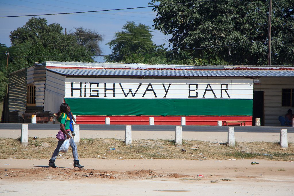 |
| Along the B8 highway | |
| Latitude: S 17°55'53,59" | Longitude: E 19°46'20,29" | Altitude: 1117 metres | Location: Rundu | State/Province: Kavango East Region | Country: Namibia | Copyright: Ron Harkink | See map | |
| Total images: 8 | Help | |
|
|
|
| Along the B8 highway | |
| Latitude: S 17°55'53,59" | Longitude: E 19°46'20,29" | Altitude: 1117 metres | Location: Rundu | State/Province: Kavango East Region | Country: Namibia | Copyright: Ron Harkink | See map | |
| Total images: 8 | Help | |